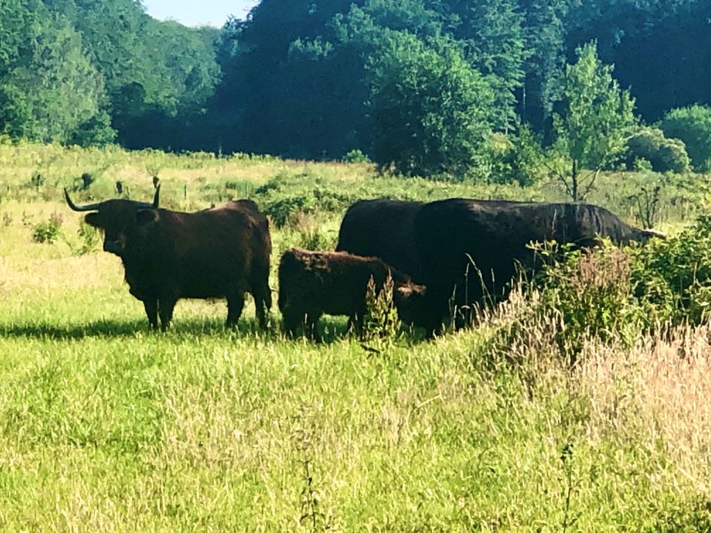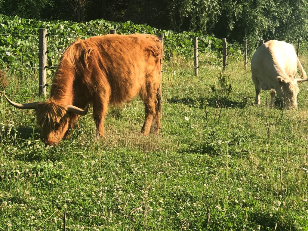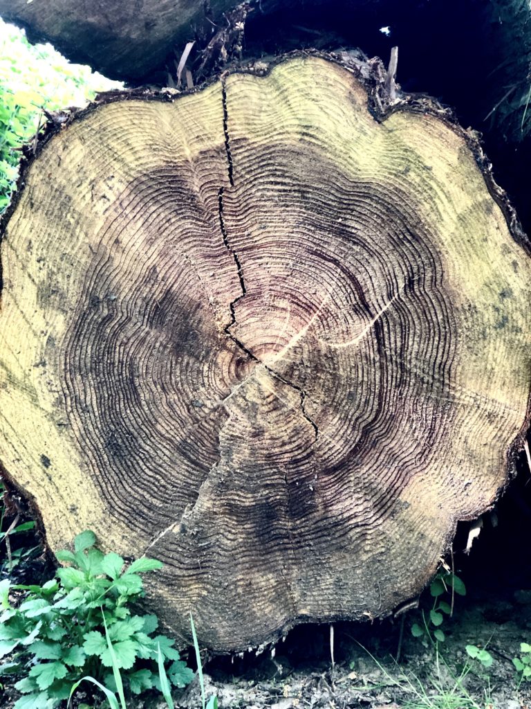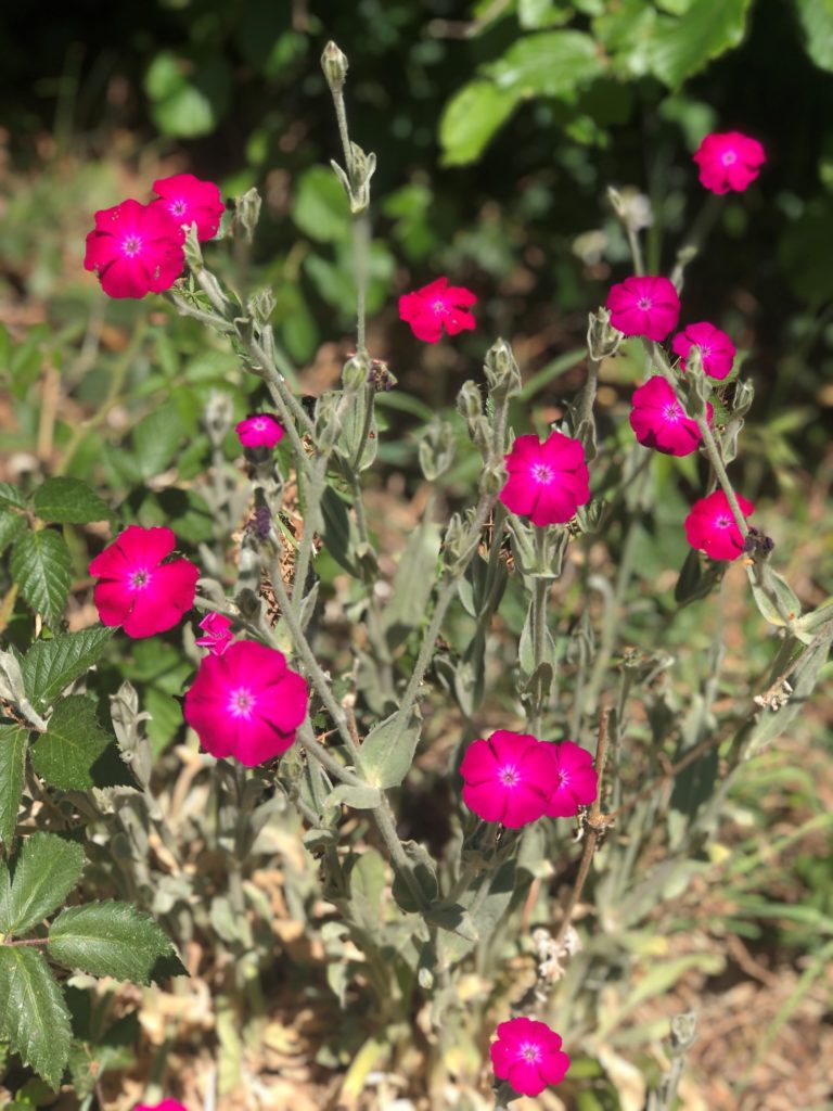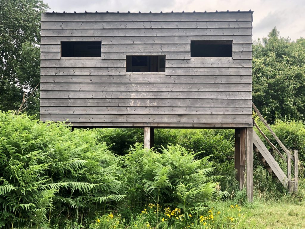
Start from the metal engraving with the plan of Groenendaal abbey outside of the parking lot of Groenendael Castle. The metal sheet with the engraving (temporarily removed for renovation) is placed on a concrete stand at the side of the former abbey church, under a lime tree. Next you cross the parking lot and the field and head to the first lake (Putselvijver). You follow the path along the shore until it meets Kloosterweg and you reach Saint Cornelius chapel on the right. Here you take a left on Lange Staartdreef, which following a slight elevation meets Hakenstakendreef. When reaching a junction, you continue straight and following a short, steep climb you reach the field of the old hippodrome. You follow the paved road, pass the wildlife crossing (Ecoduct) marked by a carved statue of two otters to the right (at the edge of the grazing field for Scottish highland cattle, with some luck you might spot them) and a wildlife observation tower to the left. (Before reaching the tower, you keep an eye for the cherry trees on the left with and abundance of sweet wild cherries in late June and July. Behind the cherry trees you find a field of raspberry and mulberry shrubs bringing their fruits from late July, early August)). Follow the road and soon enough, you will pass the royal lodge (hyperlink) on the left and the remains of the bookmakers’ stand to the right, partly overgrown by vegetation. Take a sharp right turn (Hakenstakendreef) and descent to enter the tunnel under R0. Emerging from the runnel, take a left to stay on Hakenstakendreef (bicycle path) and follow the path until the first bicycle path branching off to the right a few meters before Terhulpsesteenweg. You follow the bicycle path until it meets Koudedellsweg, where you switch road. A few meters further, Koudedellsweg is crossed by Wildeduisweg, here you keep your general direction by taking Wildeduisweg for xxx meters. You will take a left, at the T crossing and continue on Langestraatdeerf toward La Hulpe castle. This path will lead you directly to the gate to the Castle grounds, and when you cross the gate (and by doing so enter Wallonia, signified by changing the language of the road marks from Flemish to French), the name of the path will change to Chemin de la Longue Queue. You pass by the rhododendron shrubs on the right and some grazing fields on the left. When the castle ahead gets into sight, you have two options:
- Either you continue on the road straight, pass by the field with horses (“poneys des Rênes de la Vie”: therapeutic horses to help special need children) and run around the castle from the left-hand side. Once behind the castle you pass the terrace and the rose-garden. You leave the French garden through a narrow path passing the fountain with the marmaid on your left. Once on the paved road, you bear left until you find the signs for Fondation Folon.
- Alternatively, you leave the paved road and follow a footpath into the woods, cross a mossy bridge arching over a dried, fern-filled stream bed When you leave the words behind, take a turn and cross the grassy field and run toward the castle and away from the obelisk with a golden sun on its top. You take the paved road to the right when you arrive to a white statue at the top of the hill and rejoin the the main route behind the rose garden and run until you find the signs toward Fondation Folon.
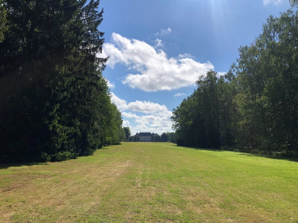
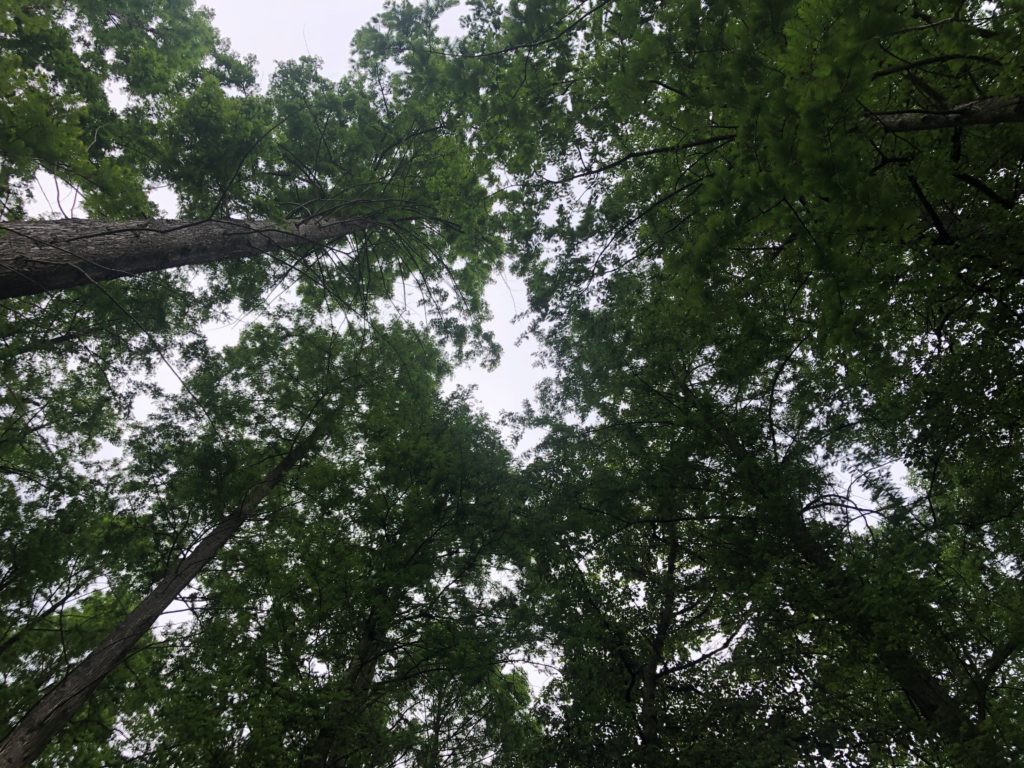
You bear right and keep following the signs until you reach the courtyard of the Folon Museum (hyperlink with opening times). You leave the courtyard through the main gate to arrive to the lake shore with a wooden deck for bird watching. You run along the lake on Clos de Campanules switching it to a narrow footpath on the right and keeping as close to the shore as possible. At the far end of the lake you cut through the trees, cross a gravel road slightly to the right and continue in the same direction (away from the lake). You continue amongst tall pines and birches until you reach the gates. You cross the gate, follow the path until it merges with the paved Dreve Josephine. Follow it for a few hundred meters and then take a left to start ascending on Dreve de la Sapinere (good section for deer spotting). From here, you continue until you reach a junction of six roads/paths, where you take a sharp turn and take the first path on your right, which you follow until you see on your left the tunnel under R0. You enter the tunnel and will arrive to Sint-Corneliusdreef (Flemish part of the Forest again with Flemish signs). Take a right before the barrier and after a few steps you will arrive to the junction with Wilderijmweg, where you turn left. You run (in the “gothic cathedral” of the birch forest) until this road ends in a T-junction, where you turn left on to Puntgeveldreef. You leave this road for Dreve Lorraine/Lorreindreef to the right. A few hundred meters later you will take a right onto Schone Eikweg. You stay on this path, which runs along a stream, (dry, most of the year) until it crosses Verdunningsdreef. You cross this path then a barrier for cyclists and continue following the stream on Palissadepad first and then Pneumontpad/Senter Pneumont to the right. The junction of these two paths is marked with a small picnic area and a few explanatory boards about the forest. You continue along the winding stream bed until the first lake comes into your view. You pass all three lakes along their left banks without leaving the stream or the path. You will soon reach St. Cornelius chapel again, continue straight onto Kloosterweg and take a first slight left to stay at the lakeside for cutting through the grassy field in front of Groenendaal castle and reach the parking lot. If you left your car here, you can stop for food and drink, otherwise you leave the parking lot through the gate and cross the gravel road to the starting point.